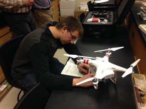
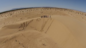
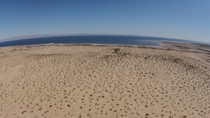
Cedarville University geology and geoscience majors are continuing to move forward in their understanding of the application of drones (unmanned aerial systems) in geologic reconnaissance for sites that typically have been deemed inaccessible. With the recent acquisition of two quadcopters and with some upcoming field trips, the geology program intends to demonstrate the value of drone imagery in interpreting geologic features in areas where highwalls, extensive vertical and horizontal exposures of rock, and canyons or gorges have made viewing and mapping difficult in the past. Natural hazards areas where floods, landslides, tornadoes, or wildfires have occurred will also be sites for investigation. Students will get hands-on training in flying the new quadcopters and they will learn how to take the imagery and create various types of maps that can be used in geologic, natural resources, and land-use interpretation. As the program becomes more advanced, additional sensors will be carried on the drones to do other types of geologic reconnaissance. Those sensors may collect data related to measuring gravity and magnetics, or they may take radiation measurements and do gas detection, or they may act as AMRs.
The Cedarville University geology section has partnered with a couple of commercial firms that will lend advise and expertise on how to best move forward with the initiative. Those firms are Remote Intelligence of Wellsboro, PA, and Calgary Rock and Materials Services of Calgary, Alberta, Canada.
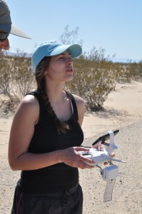
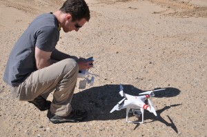
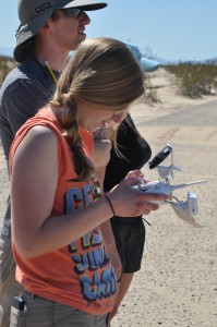
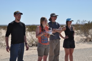
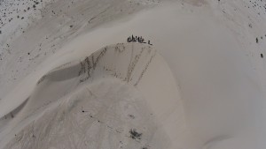
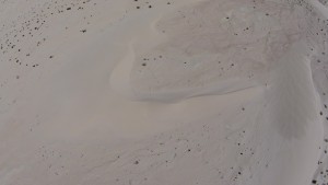
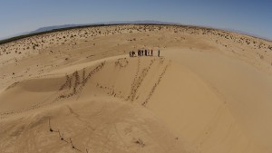
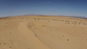
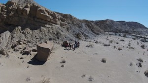
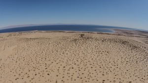
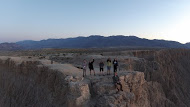
Last week, we flew our drones in the Anza Borrego Desert of southern California. We used them to photography steep, inaccessible canyons and get great overhead shots of barchan sand dunes. For a number of the students, it was their first time at the controls.\
Posted in: Uncategorized


